Best Hikes near Washington DC You Shouldn't Miss
From Rock Creek Park's city woods to Old Rag's boulder scramble, a local's honest rundown of the trails worth your gas money and Metro fare.
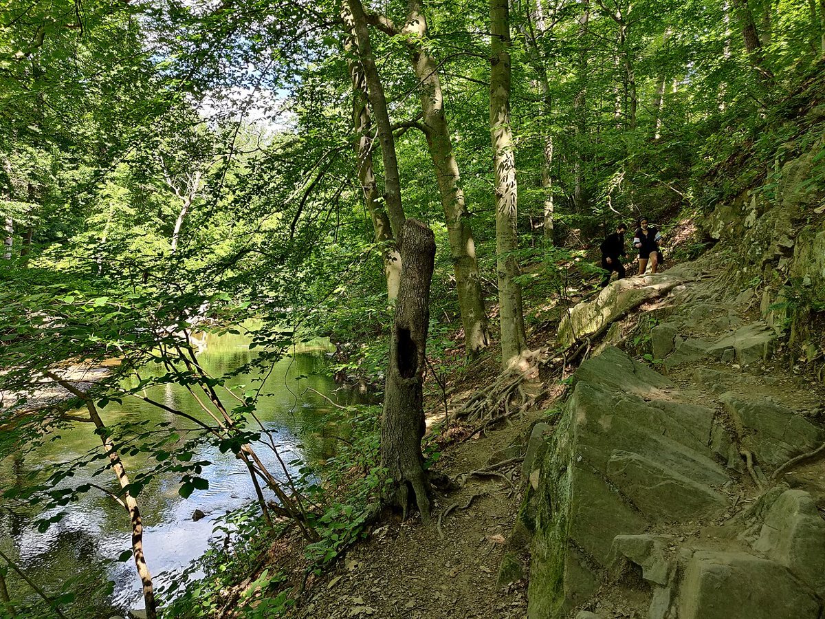
On a Saturday morning in October, the Valley Trail through Rock Creek Park is thick with runners, dog walkers, and a great blue heron working the shallows near the Nature Center, and none of it looks like the marble city ninety minutes east. That is the point. The best hikes near Washington DC start inside the District itself and do not stop until you are standing on a rock outcrop in Shenandoah watching the Blue Ridge run out ahead of you. This region has more real trail than most people who live here ever bother to learn, and a surprising amount of it does not require driving past the Beltway.
What follows is organized the way an actual local plans a hiking year: what you can reach on foot or by Metro on a free Saturday, what needs a car but is doable before lunch, what deserves a full day, and what deserves an early alarm. Twelve stops, ordered by how far you have to go to reach them.
In the City: Trails You Do Not Need a Car For
Rock Creek Park cuts north to south through the middle of Washington, and most of the city treats it as scenery from a car window instead of a place to actually walk. It should not be. The park runs roughly from the Maryland line down to the Potomac, and its interior trail network, especially the unpaved Valley Trail and the connecting horse trails near the Nature Center and Planetarium, feels like real Piedmont forest: beech and tulip poplar, deer that do not bother moving for you, the creek itself running fast over rock ledges after rain. The paved Rock Creek Trail is the one joggers and cyclists use for mileage; the dirt Valley Trail on the opposite bank is where you go to forget you are inside city limits. It connects north into Maryland's Rock Creek Regional Park if you want to keep going. Insider tip: park at the Nature Center off Glover Road, walk the connector down to the creek, and loop back past Boulder Bridge, one of the park's old stone crossings and a good landmark for finding your way if the trail junctions get confusing, since signage is inconsistent. It is Metro-accessible from the Cleveland Park or Van Ness stations with a walk in, though most people drive and park free at one of the small trailhead lots.

Theodore Roosevelt Island sits in the Potomac between the Kennedy Center and Rosslyn, and it might be the single best argument that you do not need a car to hike near DC. A pedestrian bridge from the Virginia shore, reachable on foot from the Rosslyn Metro station, drops you onto a wooded island with about two and a half miles of trail looping through swamp boardwalk and upland forest to a plaza with an oversized statue of Roosevelt himself. It floods along the swamp boardwalk after heavy rain, so check conditions if you are going right after a storm. The appeal here is not distance, it is the contrast: herons and turtles in a swamp fifteen minutes from the Kennedy Center, with rowing shells gliding past on the river channel and Georgetown's rooftops visible through the trees. Go early on a weekday if you want it quiet, since weekend afternoons draw a real crowd. No parking fee on the Virginia side lot, and it is one of the only entries on this list you can do entirely without a car. Bring bug spray in summer, since the lowland trail can get buggy near the swamp.
The Potomac Gorge: Great Falls and the Canal
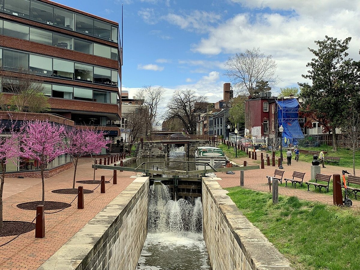
The C&O Canal Towpath starts in Georgetown and runs, flat and mostly gravel, all the way to Cumberland, Maryland, but you do not need anywhere near that much of it. The stretch from Georgetown out toward Great Falls is the one locals actually use, following the old canal bed and the Potomac itself past Fletcher's Cove, Chain Bridge, and eventually the falls. It is flat enough for a stroller and long enough to turn into a serious out-and-back if you want mileage, and it is one of the few trails on this list where you can start at Georgetown's waterfront and simply keep walking until you decide to turn around. Bikes and joggers share the towpath heavily, so it is not a wilderness experience close to town, but the mule-drawn-barge history along the way, with lock houses still standing at intervals, gives it a different character than a straight nature trail. Parking is easiest at Fletcher's Cove or further out near Carderock.

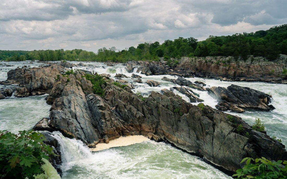
Great Falls Park on the Virginia side, run by the National Park Service, is where the Potomac stops being a lazy river and turns into whitewater dropping through a narrow gorge, and it is genuinely one of the more dramatic natural sights within an hour of the Capitol. The overlooks along the river trail put you a few feet from the falls themselves, and the short Ridge Trail and River Trail network lets you string together a couple of miles with real elevation change for the region, climbing in and out of the gorge on exposed rock. On a clear day you can see climbers roped up on the cliffs across the river on the Maryland side, and kayakers running the rapids below. Go on a weekday if you can. Weekend parking lots here fill by mid-morning in good weather and the park will simply close entry until spots open up. There is usually a fee to enter on the Virginia side.

The Billy Goat Trail, Maryland Side
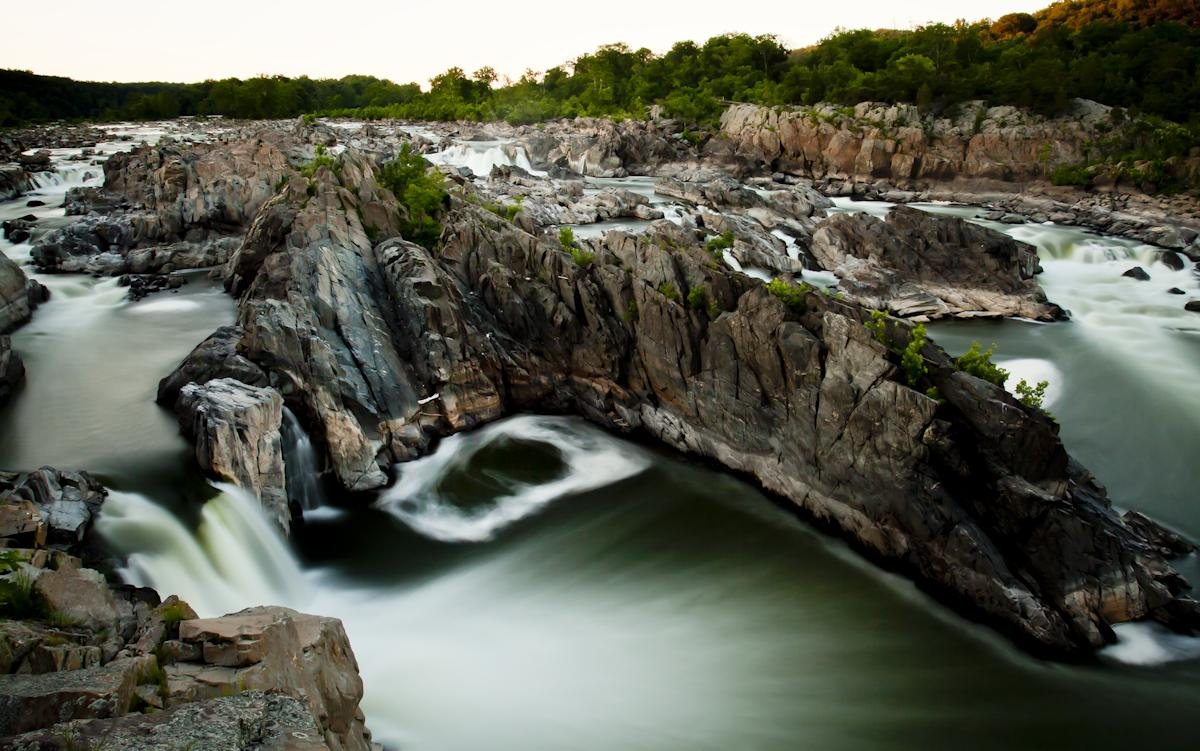
Across the river, the Maryland side of Great Falls is part of the C&O Canal National Historical Park, and it is home to the Billy Goat Trail, the closest thing the DC area has to a genuine scramble. Section A is the famous stretch: a mile or so of climbing over house-sized boulders along the cliffs above Mather Gorge, with hand-over-hand moves in a few spots and views straight down into the whitewater. It draws crowds on weekends, sometimes with lines forming at the tightest scramble sections, so plan for company. Sections B and C, further along, are calmer and less technical if you want the towpath-adjacent scenery without the bottleneck. Locally this is often just called Great Falls MD, to distinguish it from the Virginia park across the water, and the historic Great Falls Tavern anchors the visitor area nearby. Wear real shoes, not sandals, and bring more water than you think you need since there is no shade on the rock. Parking at the Maryland side entrance usually has a small per-vehicle fee, and it is usually free to walk in on foot from the C&O Canal towpath if the lot is full.


Scott's Run Nature Preserve, tucked into Fairfax County just upriver from the American Legion Bridge, is the trail locals send visitors to when Great Falls is too crowded but they still want river views and a waterfall. It is small, a couple of miles of trail total, but the path down to Scott's Run Falls and the Potomac overlook packs in real elevation change for its size, with some sections eroded and rooty enough to slow you down. It floods and gets muddy quickly, so this is a fair-weather trail more than a rain-or-shine one. Parking is limited to a small lot off Georgetown Pike that fills fast on weekends, and once it is full, rangers will simply turn cars away rather than let people park along the road. This is a solid pick for an after-work outing in longer daylight months, since the whole loop can be done in under two hours if you keep moving.
Out to Maryland's High Ground
Sugarloaf Mountain, a private nature preserve near Dickerson, Maryland, is the closest thing to a real mountain hike inside an hour's drive of the city, a monadnock that rises alone out of the farmland of the Monocacy Valley rather than sitting in a range. Several trails climb from the lower parking areas to the summit overlooks, with the East View and West View lookouts giving genuinely long sightlines over the valley and, on a clear day, back toward the DC skyline in the haze. The loop trail around the summit is short but rocky underfoot, and there is a shorter drive-up option for the lower overlooks if you are hiking with someone who cannot manage the full climb. It is privately owned and free to enter, which is unusual for a summit this good, and it gets busy with families on nice weekends, so a weekday morning is the move if you want it to yourself.
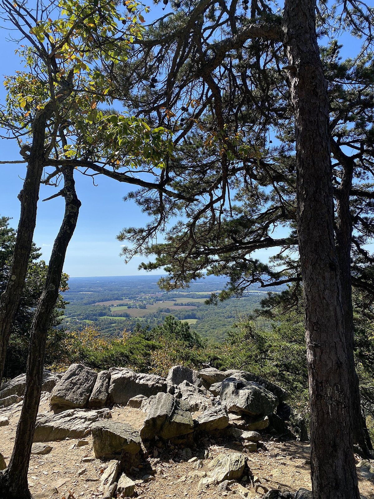

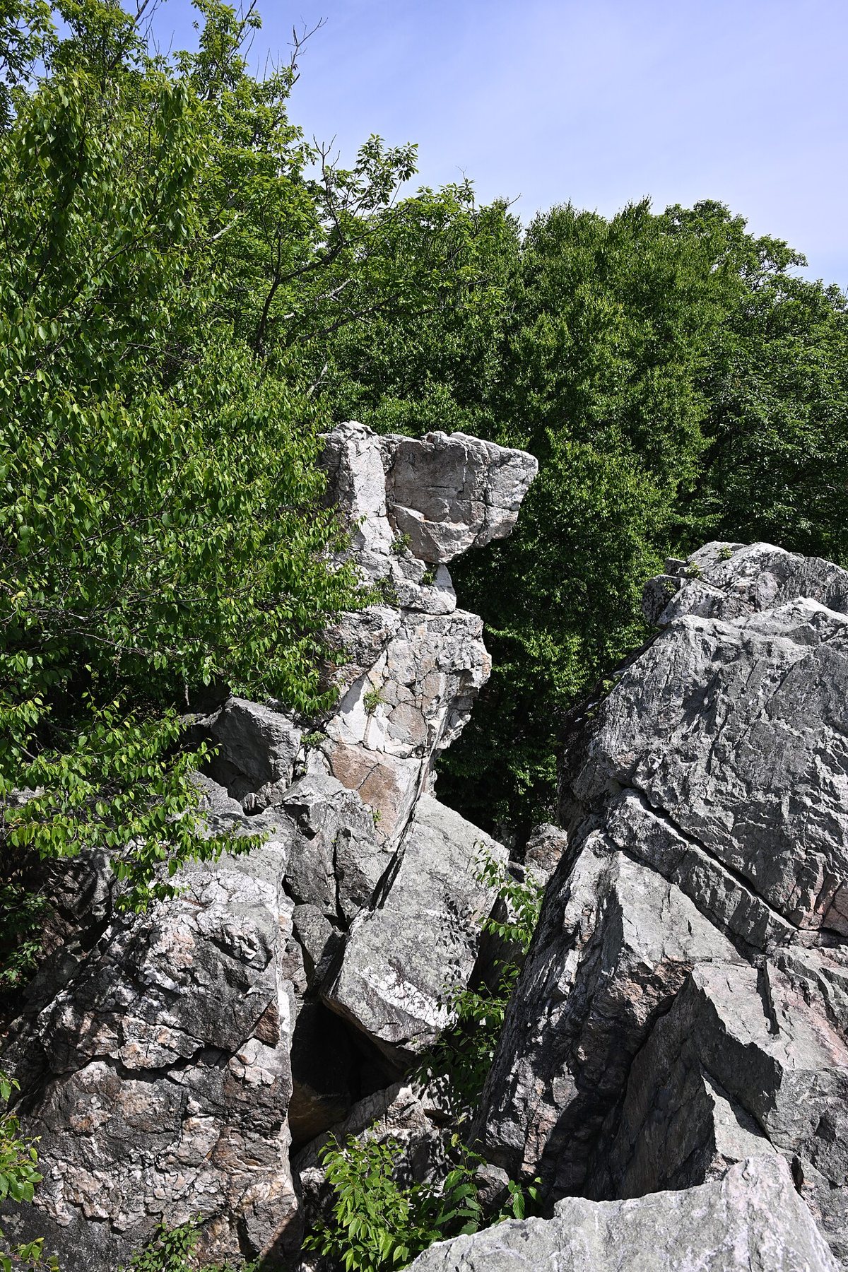
Catoctin Mountain Park, further northwest near Thurmont and best known for being the neighbor of the presidential retreat at Camp David, and the adjoining Cunningham Falls State Park share a ridge of trail that includes Maryland's tallest cascading waterfall along with several summit overlooks like Chimney Rock and Wolf Rock, both popular scramble-to-a-view spots. The two parks blend into each other on the ground even though they are separately managed, so a lot of hikers cover both in one visit, starting at the falls and working up toward the overlooks. It is a genuine mountain landscape, oak and hickory forest on steep terrain, and it is far enough out that you will not see the DC-area weekend crowds you get at Great Falls. Figure on close to two hours' drive each way, which makes this one for a full day rather than an after-work outing.

South of the City: Forest and River
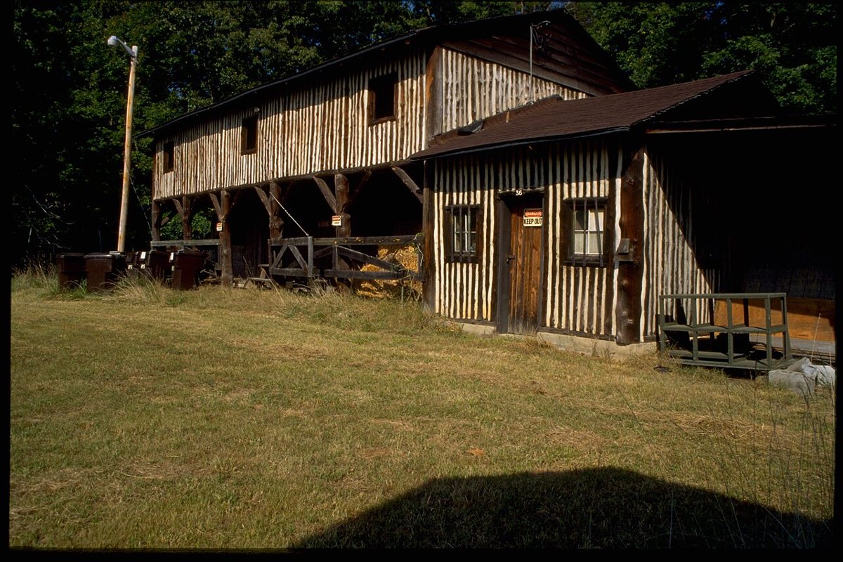
Prince William Forest Park, down near Quantico in Virginia, is the largest protected natural area in the DC region and one of the least crowded, mostly because it sits south of the city in a direction weekend hikers do not default to. It was built out as a New Deal-era recreation area in the 1930s, and the old stone-and-log cabin camps are still scattered through the forest, giving parts of the park a CCC-era feel you do not get elsewhere on this list. The trail network along Quantico Creek offers real quiet, streamside walking through second-growth Piedmont forest without the shoulder-to-shoulder feeling of Great Falls on a Saturday. It is a legitimate NPS unit, so there is an entrance fee, but you would be hard-pressed to find another spot this close to DC where you can hike for an hour without passing another group.

Bull Run and the Occoquan, west and south of the city in Fairfax and Prince William counties, cover a longer stretch of connected trail than most people realize, running from Bull Run Regional Park down along the Occoquan River toward Fountainhead Regional Park. The full Bull Run-Occoquan Trail is a serious point-to-point if you shuttle a car, following bluffs above the reservoir with a mix of easy river-bottom sections and steeper climbs in between. Most locals just pick a chunk near Fountainhead or Hemlock Overlook for an out-and-back rather than committing to the whole route. It is a good option when you want river scenery and some real distance without driving all the way out to Shenandoah, and it stays noticeably less crowded than Great Falls even on a nice Saturday, since it does not have the same name recognition outside the immediate area.
Mason Neck, a peninsula jutting into the Potomac south of Alexandria, is flatter and quieter than anything else on this list, and it is the spot to send anyone who wants a genuinely easy walk with a real chance of seeing bald eagles, since the peninsula holds one of the largest nesting populations in the mid-Atlantic. The trails through Mason Neck State Park and the adjoining wildlife refuge are wide, level, and short, better suited to birdwatching and a slow afternoon than to burning off energy. Bring binoculars if you have them, and go in late winter or early spring when the eagles are most active around the nesting sites and the trees have not fully leafed out yet, which makes spotting them from the trail considerably easier.
The Big Days: Old Rag and the Rest of Shenandoah
Old Rag Mountain
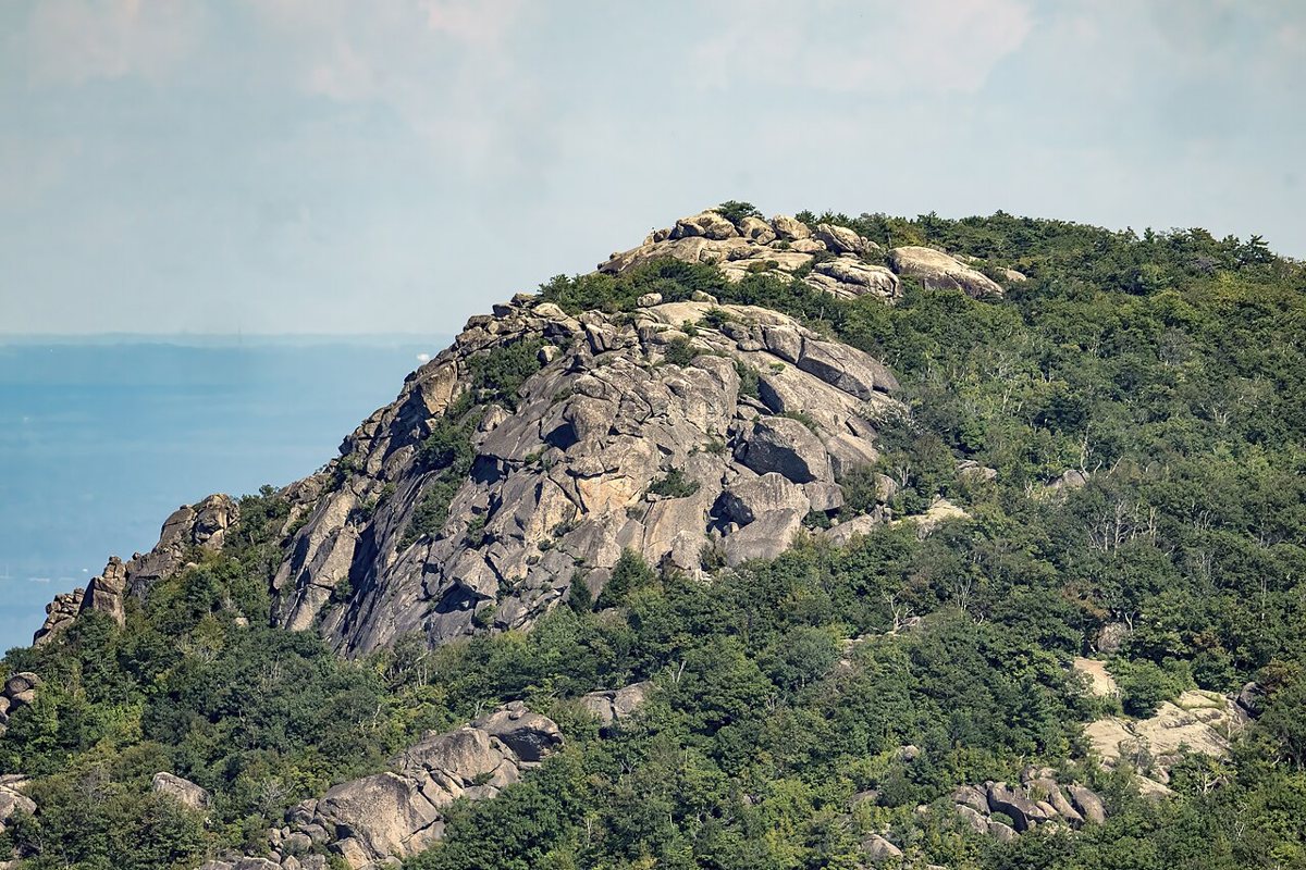
Old Rag is the hike everyone in DC has heard of before they have heard of anything else on this list, and it earns the reputation honestly while also being the one place here where the crowds are a real part of the planning. The full loop, combining the ridge trail's boulder scramble with the fire road descent, runs somewhere in the eight-to-nine-mile range with a genuinely strenuous rock scramble near the summit that involves squeezing through gaps and climbing over car-sized boulders using both hands. It is not a casual walk, and people underestimate it every year. Shenandoah National Park has required a separate day-use ticket for Old Rag during peak season in recent years on top of the standard park entrance fee, and the specifics of that system change, so check the current rules before you go rather than assuming last year's process still applies. Weekend tickets during fall foliage and spring wildflower season sell out, sometimes well in advance. If you want the experience without the reservation scramble, a weekday visit outside peak leaf season is the realistic workaround. Bring more water than seems reasonable, wear shoes with real grip, and budget the better part of a day including drive time, since it is close to two hours from DC.

Stony Man and Hawksbill
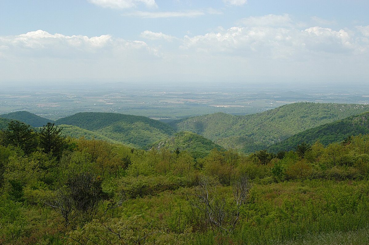
If Old Rag's crowds or its scramble are not what you are after, Shenandoah National Park's Skyline Drive corridor has two summits that deliver comparable views for a fraction of the effort. Stony Man, reached by a short loop from a parking area right off Skyline Drive, gets you to the second-highest point in the park with a rock outcrop summit view over the valley in well under two miles round trip. Hawksbill, the actual highest point in Shenandoah, is a similarly short but steeper climb to a summit with a stone observation platform and views that stretch across the Shenandoah Valley toward the Alleghenies on a clear day. Both are ideal for a fall foliage day when you want a payoff view without Old Rag's time commitment, and both require the park's standard entrance fee along Skyline Drive rather than a separate permit.

Harpers Ferry and the Appalachian Trail
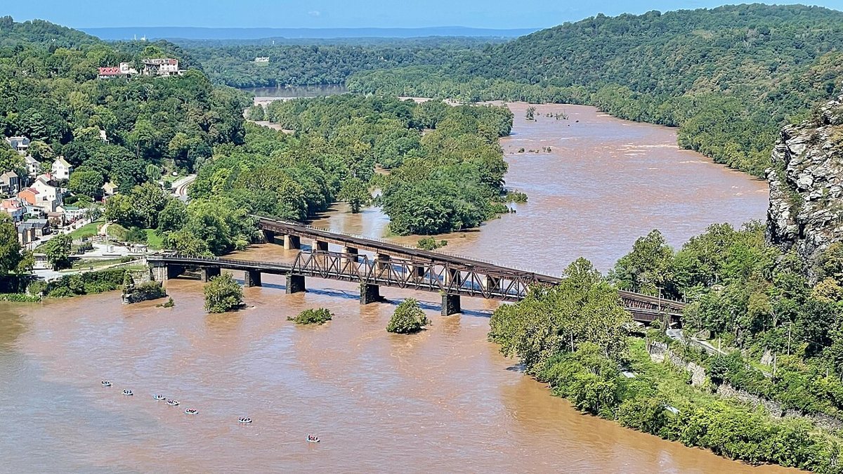
Harpers Ferry, where West Virginia, Maryland, and Virginia meet at the confluence of the Potomac and Shenandoah rivers, is a working piece of the Appalachian Trail as much as it is a historic town, and the hiking here is as good as the history. The AT itself passes straight through town and crosses the Potomac on a footbridge shared with the C&O Canal towpath, so you can walk a genuine stretch of the AT without any special planning. Across the river on the Maryland side, the climb up Maryland Heights delivers the view everyone comes for: the town, the river confluence, and the old armory ruins laid out below from a rocky overlook that was once a Civil War fortification. It is a real climb, steep in sections, but well within a half-day trip from DC including drive time. Harpers Ferry National Historical Park charges an entrance fee, and parking in the lower town itself is limited, so most visitors use the park's shuttle system from the main visitor center lot.

Best Hikes Near Washington DC: The Practical Stuff
A few things worth knowing before you build a weekend around any of this. Most of what is genuinely worth hiking near DC requires a car. Rock Creek Park and Theodore Roosevelt Island are the real exceptions, both workable by Metro plus a walk, and worth defaulting to on a weekend when you do not want to deal with parking or traffic. Everything from Great Falls outward assumes you are driving, and if you are weighing a full day out of the city, a day trip out of the city built around Shenandoah or Harpers Ferry is a full tank-of-gas commitment, not a quick errand. Figure two hours each way to Shenandoah's northern entrances and closer to ninety minutes to Harpers Ferry, and build the drive time into your plan rather than treating it as an afterthought once you are already tired at the trailhead.
- Timing matters more than distance. Great Falls, the Billy Goat Trail, and Old Rag all fill their parking lots by mid-morning on nice weekends, sometimes closing entry entirely. An early start beats a shorter drive every time.
- What is free: Sugarloaf Mountain has no entrance fee. Rock Creek Park and Theodore Roosevelt Island are free NPS sites with no gate. Most Virginia and Maryland regional parks like Scott's Run and Bull Run charge only for parking, if anything.
- What charges: Great Falls Park, Shenandoah National Park, Prince William Forest Park, and Harpers Ferry National Historical Park are all fee-based NPS units.
- Old Rag's permit system exists because the mountain was genuinely being loved to death by overcrowding. Check the current day-use ticket rules before a peak-season weekend trip rather than assuming you can walk up and start hiking.
- Fall weekends are the worst possible time to want solitude anywhere on this list. If foliage crowds are not your thing, aim for a weekday or shoulder-season visit instead.
None of this requires you to leave the city to find real trail, and none of it requires abandoning the city either. The honest version of hiking near DC is that Rock Creek Park will always be there on a Tuesday evening when Shenandoah is two hours out of reach, and Old Rag will always be worth the alarm clock on the one Saturday a year you actually commit to it. Both things are true, and neither cancels out the other. Pick the one that fits the day you actually have, not the one that looks best on a list.